File:Joshua Tree - Sweet Band belay.jpg
Jump to navigation
Jump to search


Size of this preview: 516 × 599 pixels. Other resolutions: 207 × 240 pixels | 413 × 480 pixels | 517 × 600 pixels | 661 × 768 pixels | 882 × 1,024 pixels | 2,378 × 2,762 pixels.
Original file (2,378 × 2,762 pixels, file size: 3.51 MB, MIME type: image/jpeg)
Note: If you wish to reuse this file please read Commons:Reusing content outside Wikimedia.
Summary
| Description |
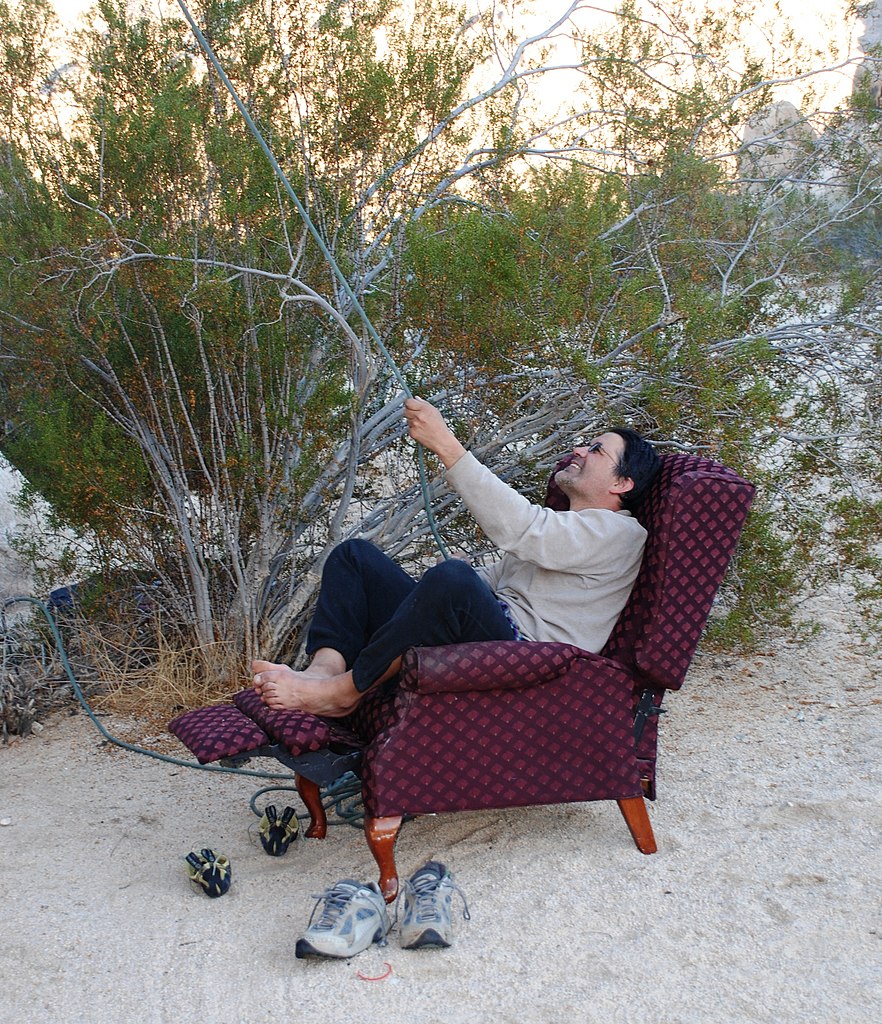
English: Joshua Tree National Park: Comfortable belay station on Sweet Band (5.10.c) at King Otto's Castle formation in Indian Cove. |
| Date | Taken on 29 November 2008 |
| Source | Own work |
| Author | Jarek Tuszyński |
| Camera location | | View this and other nearby images on: OpenStreetMap |
|---|
Licensing
Jarek Tuszyński, the copyright holder of this work, hereby publishes it under the following licenses:
This file is licensed under the Creative Commons Attribution-Share Alike 3.0 Unported license.
Attribution: Jarek Tuszyński / CC-BY-SA-3.0 & GDFL
- You are free:
- to share – to copy, distribute and transmit the work
- to remix – to adapt the work
- Under the following conditions:
- attribution – You must give appropriate credit, provide a link to the license, and indicate if changes were made. You may do so in any reasonable manner, but not in any way that suggests the licensor endorses you or your use.
- share alike – If you remix, transform, or build upon the material, you must distribute your contributions under the same or compatible license as the original.

|
Permission is granted to copy, distribute and/or modify this document under the terms of the GNU Free Documentation License, Version 1.2 or any later version published by the Free Software Foundation; with no Invariant Sections, no Front-Cover Texts, and no Back-Cover Texts. A copy of the license is included in the section entitled GNU Free Documentation License. |
You may select the license of your choice.
File history
Click on a date/time to view the file as it appeared at that time.
| Date/Time | Thumbnail | Dimensions | User | Comment | |
|---|---|---|---|---|---|
| current | 05:01, 7 August 2009 | | 2,378 × 2,762 (3.51 MB) | Jarekt | {{Information |Description={{en|Joshua Tree National Park: }} |Source={{own}} |Date=2008-11 |Author=Jarek Tuszynski (Jarekt) |Permission=Own work, copyleft: Multi-license with GFDL and Creative Commons CC-BY |
File usage
The following page uses this file: